Panchagarh district
2 parliamentary seats · 5 upazilas. The current member for each seat, according to Parliament's database.
About Panchagarh district
Panchagarh District is a district of the Rangpur Division in Northern Bangladesh. Panchagarh is the northernmost district of Bangladesh. It lies between 26º00' and 26º38' north latitudes and between 88º19' and 88º49' east longitudes. It was established as a district on 1 February 1984.
The name
There are two main beliefs associated with the name of the district. The first is that Panchargarh was named after an area called Pancha Nagari in the kingdom of Pundu Nagar. The second is that it was named for the five forts in the region. The forts were Bhitargarh, Hosaingarh, Mirgarh, Rajangarh, and Devengarh, hence the name Panchagarh, meaning 'five forts'.
History
During the regime of the British Raj, Panchagarh was part of the Jalpaiguri district of undivided Bengal. In 1911, Jalpaiguri was fully established as a thana. At that time, the headquarters of Jalpaiguri thana was situated in Jagdal upazila of the current Panchagarh district. The thana was relocated at the bank of Karatoya River in its current position for environmental and transportation benefits. After the Partition of India and Pakistan in 1947, Panchagarh was a thana under the Thakurgaon mahakuma in Dinajpur district.
Geography
Geographically this land is part of the lower foothills of the Himalayas so comparatively this land is the highest in Bangladesh, lying 150 feet above sea level. The soil composition is also distinct with rich sand and stones.
People
According to the 2022 Census of Bangladesh, Panchagarh District had 281,627 households and a population of 1,179,843. The urban population was 189,848. Panchagarh District had a literacy rate of 73.66% for the population 7 years and above: 76.66% for males and 70.69% for females, and a sex ratio of 99.68 males per 100 females. The ethnic population is 2,011.
Economy
The local industry consists of tea, sugar, rice mills, ice factories, garment factories, oil milling, and saw milling. Banglabandha land port is located on about 10 acres of acquired land at the north-western tip of Bangladesh in Tetulia under Panchagarh district on the Bangladesh-India highway. The port is situated 60 km from Panchagarh Town.
Source: Wikipedia, Panchagarh District · CC BY-SA 4.0
Notable people of Panchagarh
- Muhammad Jamiruddin Sarkar, former speaker, Jatiyo Sangshad
- Sirajul Islam, Member of Parliament, Jatiyo Sangshad
- Mohammad Sultan, language movement activist in 1952
- Abdur Rahman, film actor
- Gamiruddin Pradhan, Bangladeshi lawyer
- Shoriful Islam, Bangladeshi cricketer
- Fariha Trisna, Bangladeshi Woman cricketer
Map of the district
Boundaries from the Election Commission's description of the seats, drawn on the maps of OpenStreetMap (upazilas), OCHA (city corporations) and geoBoundaries (city wards; BBS, 2015); approximate. Background map from OpenStreetMap. 2 seats; tap an area to open that seat's page.

Seats and their members
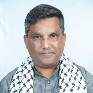
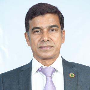
Panchagarh is a district in Rangpur division with 2 seats in Parliament: Panchagarh-1 and Panchagarh-2. In the 13th Parliament the seats are all held by the BNP. In the 12th Parliament (2024) the seats were all held by the Awami League.
Source: Parliament of Bangladesh | Updated 24 October 2026