Khulna district
6 parliamentary seats · 9 upazilas. The current member for each seat, according to Parliament's database.
About Khulna district
Khulna District is a district of Bangladesh. It is located in the Khulna Division, bordered in the north by Jashore District and Narail District, in the south by the Bay of Bengal, in the east by Bagerhat District, and the west by Satkhira District. It was the first sub-division of the United Bengal Province established in 1842. On 1 June 1882, by notification of the official gazette published from Kolkata, Khulna and Bagerhat sub-division of Jashore district and Satkhira sub-division of 24 Parganas district together formed the new district of Khulna.
History
Khulna saw its rise faster than any other area of Bangladesh due to its geographical and economic importance. Also, settlements dating back to 800-900 CE have been found in Rezakpur village in Khulna's Paikgachha Upazila. Muslim rule established itself in Khulna during the 14th century. The saint Khan Jahan Ali obtained a jagir that encompassed the present-day district. In the 16th century, Maharaja Pratapaditya ruled the present Khulna, Bagerhat and Satkhira districts before being defeated by the Mughal Muslim rulers. The region then became a significant part of the Khalifatabad.
Geography
Khulna District has a total area of 4,389.11 square kilometres. It borders Jessore District to the north, Narail District to the northeast, Bagerhat District to the east, the Bay of Bengal to the south, and Satkhira District to the west. Khulna district is mostly composed of flat plains.
People
According to the 2022 Census of Bangladesh, Khulna District had 670,861 households and a population of 2,613,385, with an average of 3.85 people per household. Among the population, 418,531 inhabitants, or 16.01%, were under 10 years of age. The population density was 595 people per km2.
Source: Wikipedia, Khulna District · CC BY-SA 4.0
Map of the district
Boundaries from the Election Commission's description of the seats, drawn on the maps of OpenStreetMap (upazilas), OCHA (city corporations) and geoBoundaries (city wards; BBS, 2015); approximate. Background map from OpenStreetMap. 6 seats; tap an area to open that seat's page.


Seats and their members
Khulna is a district in Khulna division with 6 seats in Parliament: Khulna-1 (Batiaghata and Dacope upazilas), Khulna-2 (Wards 16 to 31 of Khulna City Corporation), Khulna-3, Khulna-4, Khulna-5 (Phultala upazila, Dumuria upazila and Gilatala Cantonment area) and Khulna-6 (Koyra and Paikgachha upazilas). In the 13th Parliament, of these seats the BNP holds 4 and Jamaat-e-Islami 2. In the 12th Parliament (2024) the seats were all held by the Awami League.
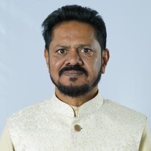 Amir Azez KhanKhulna-1, BNP
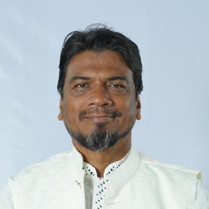 Sk. Zahangir Hossain HelalKhulna-2, Jamaat-e-Islami
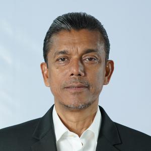 Rakibul IslamKhulna-3, BNP
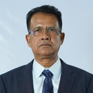 SK Azizul BareeKhulna-4, BNP
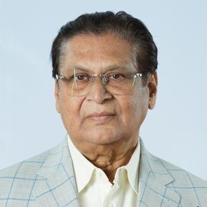 Mohammad Ali AsgharKhulna-5, BNP
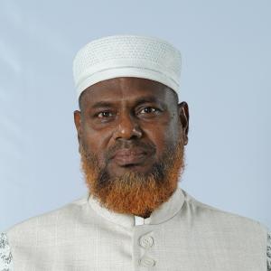 Md. Abul Kalam AzadKhulna-6, Jamaat-e-Islami
Source: Parliament of Bangladesh | Updated 24 October 2026