Mymensingh district
11 parliamentary seats · 13 upazilas. The current member for each seat, according to Parliament's database.
About Mymensingh district
Mymensingh District is a district in Mymensingh Division Bangladesh, and is bordered in the north by Meghalaya, India and the Garo Hills, in the south by Gazipur District, in the east by the districts of Netrokona and Kishoreganj and in the west by the districts of Sherpur, Jamalpur and Tangail. Mymensingh is the 8th administrative divisional headquarters and 12th city corporation of Bangladesh. According to Ministry of Public Administration, Mymensingh is ranked 4th in district status. The density of Mymensingh city is 44,458/km2 which is the second most densely populated city in Bangladesh.
History
The early history of Mymensingh is little known. Due to its general isolation from the more populous centres of Bengal, this territory was always loosely-controlled by the state and was a frontier area dividing the more populous regions of Bengal from the Garo Hills. The region was part of the kingdom of Kamarupa, but after the breakup of Kamarupa, the region was conquered by the Bengal Sultanate. Between the 14th and 18th centuries, the lands of Mymensingh were generally ruled by political adventurers who came to Mymensingh after a defeat.
Geography
The district covers an area of 4363.48 km2. It is mostly plain land, in the north along the border there are several small valleys between high forests. The temperature ranges from 12 to 33 °C, and the annual rainfall averages 2,174 mm. Mymensingh district is situated in northern Bangladesh, at the heart of Mymensingh Division.
People
According to the 2022 Census of Bangladesh, Mymensingh District had 1,460,904 households and a population of 5,899,905 with an average 3.97 people per household. Among the population, 1,202,837 inhabitants were under 10 years of age. The population density was 1,342 people per km2.
Rivers
Mymensingh district has several rivers and numerous smaller khals and beels. The Old Brahmaputra river flows through the district in a southeasterly direction, entering the district at its tripoint with Jamalpur and Sherpur districts, passing through Mymensingh town, and finally turning southwards to form part of the border with Kishoreganj district.
Source: Wikipedia, Mymensingh District · CC BY-SA 4.0
Map of the district
Boundaries from the Election Commission's description of the seats, drawn on the maps of OpenStreetMap (upazilas), OCHA (city corporations) and geoBoundaries (city wards; BBS, 2015); approximate. Background map from OpenStreetMap. 11 seats; tap an area to open that seat's page.
- Mymensingh-1Mohammad Salman Omer
- Mymensingh-2Mohammad Ullah
- Mymensingh-3M. Iqbal Hossain

- Mymensingh-4Md. Abu Wahab Akanda Wahid
- Mymensingh-5Mohammed Zakir Hossain
- Mymensingh-6Md. Quamrul Hassan

- Mymensingh-7Dr. Md. Mahbubur Rahman
- Mymensingh-8Luthfullahel Mazed
- Mymensingh-9Yasser Khan Choudhury
- Mymensingh-10Mohammed Akteruzzaman
- Mymensingh-11Fakhar Uddin Ahmed
Seats and their members
Mymensingh is a district in Mymensingh division with 11 seats in Parliament: Mymensingh-1 to Mymensingh-11. In the 13th Parliament, of these seats the BNP holds 8, an independent 1, Bangladesh Khelafat Majlis 1 and Jamaat-e-Islami 1. In the 12th Parliament (2024), of these seats independents held 6 and the Awami League 5.
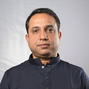 Mohammad Salman OmerMymensingh-1, Independent
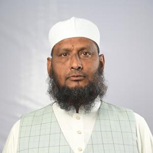 Mohammad UllahMymensingh-2, Bangladesh Khelafat Majlis
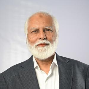 M. Iqbal HossainMymensingh-3, BNP
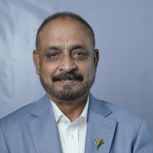 Md. Abu Wahab Akanda WahidMymensingh-4, BNP
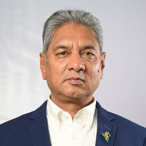 Mohammed Zakir HossainMymensingh-5, BNP
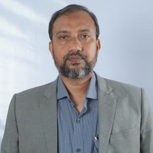 Md. Quamrul HassanMymensingh-6, Jamaat-e-Islami
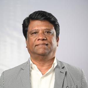 Dr. Md. Mahbubur RahmanMymensingh-7, BNP
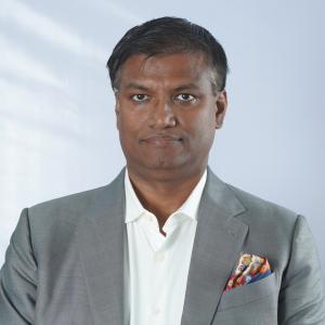 Luthfullahel MazedMymensingh-8, BNP
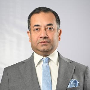 Yasser Khan ChoudhuryMymensingh-9, BNP
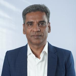 Mohammed AkteruzzamanMymensingh-10, BNP
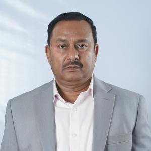 Fakhar Uddin AhmedMymensingh-11, BNP
Source: Parliament of Bangladesh | Updated 24 October 2026