Noakhali district
6 parliamentary seats · 9 upazilas. The current member for each seat, according to Parliament's database.
About Noakhali district
Noakhali District, historically known as Bhulua, is a district in southeastern Bangladesh, located in Chattogram Division. It was established as a district in 1821, and officially named Noakhali in 1868. The district's administrative center is situated in the town of Maijdee, governed by Noakhali municipality, within Noakhali Sadar Upazila. Notably, Noakhali is the only district in Bangladesh whose capital city does not share the district's name.
The name
The name of Noakhali District comes from the town of Noakhali, which was the former headquarters of the old district. It is a compound of two words; Noa and Khali. The history behind its naming is traced back to a canal that was dug in the 1660s in response to devastating floods which had affected the area's agricultural activities.
History
Noakhali is situated on relatively young alluvial deposits, therefore its human history dates from a more recent time than other parts of Bengal. It was in ancient days under the rule of Samatata, Pundra and Harikela Kingdom of ancient Bengal. In the early mediaeval period, the region was under the reign of Khadga, Chandra, Sena and Deva dynasty. The Bhulua Kingdom was founded in the 13th century, and ruled over the region until the 16th century. After the invasion of Muslims in eastern Bengal, Bhulua became a vassal of the Bengal Sultanate, and was continually on the border between the Tripura and Arakan.
Geography
Noakhali District is bordered by Comilla District to the north, the Meghna estuary and the Bay of Bengal to the south, Feni and Chittagong districts to the east and Lakshmipur and Bhola districts to the west. The district has an area of 4,202 km2. The district represents an extensive flat, coastal and delta land, located on the tidal floodplain of the Meghna River delta, characterised by flat land and low relief.
People
According to the 2022 Census of Bangladesh, Noakhali District had 776,070 households and a population of 3,625,442 with an average 4.62 people per household. Among the population, 823,404 inhabitants were under 10 years of age. The population density was 984 people per km2.
Economy
The people of Noakhali play a vital role in Bangladesh's economy, especially in the remittance sector. Agriculture plays a vital role in the regional economy. 30% of the regional GDP comes from agriculture with 45% of the population employed in the sector. Employment in the fishing industry is also dominant in the poorer sectors of the population. Annually, 15%–20% of labor is involved in this sector.
Source: Wikipedia, Noakhali District · CC BY-SA 4.0
Notable people of Noakhali
- Muhammad Ishaq, Bangladeshi historian
- Wahiduddin Mahmud, an adviser of the interim government of Bangladesh
- Golam Sarwar, Secretary · General of the SARRC
Map of the district
Boundaries from the Election Commission's description of the seats, drawn on the maps of OpenStreetMap (upazilas), OCHA (city corporations) and geoBoundaries (city wards; BBS, 2015); approximate. Background map from OpenStreetMap. 6 seats; tap an area to open that seat's page.

Seats and their members
Noakhali is a district in Chattogram division with 6 seats in Parliament: Noakhali-1, Noakhali-2, Noakhali-3 (Begumganj upazila), Noakhali-4, Noakhali-5 and Noakhali-6 (Hatiya upazila). In the 13th Parliament, of these seats the BNP holds 5 and the NCP 1. In the 12th Parliament (2024) the seats were all held by the Awami League.
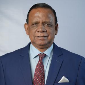 A M Mahbub Uddin KhokonNoakhali-1, BNP
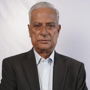 Zainul Abdin FarroqueNoakhali-2, BNP
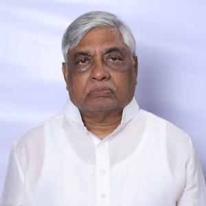 Md. Barkat Ullah BuluNoakhali-3, BNP
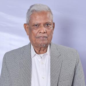 Md ShahjahanNoakhali-4, BNP
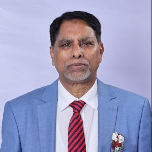 Mohammed Fakrul IslamNoakhali-5, BNP
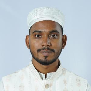 Abdul Hannan MasudNoakhali-6, NCP
Source: Parliament of Bangladesh | Updated 24 October 2026