Rangpur district
6 parliamentary seats · 8 upazilas. The current member for each seat, according to Parliament's database.
About Rangpur district
Rangpur District is a district in northern Bengal, It is a part of Rangpur Division, Bangladesh.
History
Rangpur was conquered by the army of Raja Man Singh, a commander of the Mughal emperor, and Akbar, in 1575, but it was only until 1686 that it was fully integrated into the Mughal Empire. Place names such as Mughalbasa and Mughalhat bear testimony to the Mughal association and past of Rangpur and its hinterland. Later on, Rangpur passed under the control of "Sarker" of Ghoraghat. During the period of the East India Company, the Fakir-Sannyasi rebellion took place. The Greater Rangpur district was divided in five districts in 1984. The population of the district is 2.9 million according to the 2011 census.
Geography
Under the Rangpur Division composed of eight districts of northern Bangladesh, the District of Rangpur is bordered on the north by Nilphamari District, on the south by Gaibandha District, on the east by Kurigram, and on the west by Dinajpur district. Rangpur town is the divisional headquarter. The soil composition is mainly alluvial soil of the Teesta River basin, and the remaining is barind soil.
People
According to the 2022 Census of Bangladesh, Rangpur District had 834,307 households and a population of 3,169,614, of whom 32.55% of lived in urban areas. 17.54% of the population was under 10 years of age. The population density was 1,320 people per km2.
Places to see
Just south of the city of Rangpur lies the Tajhat Zamindar's palace. After the end of the British Raj, the building was abandoned and decayed rapidly, although it was used for a few years as a courthouse during the 1980s. In the year 2004, it was largely restored and turned into a museum with ancient inscriptions, art, and coins from the area on display.
Source: Wikipedia, Rangpur District · CC BY-SA 4.0
Notable people of Rangpur
- Rangpur · 3: Saad Ershad, from Jatiya Party
- Rangpur · 6: Shirin Sharmin Chaudhury, from Awami League
Map of the district
Boundaries from the Election Commission's description of the seats, drawn on the maps of OpenStreetMap (upazilas), OCHA (city corporations) and geoBoundaries (city wards; BBS, 2015); approximate. Background map from OpenStreetMap. 6 seats; tap an area to open that seat's page.


Seats and their members
Rangpur is a district in Rangpur division with 6 seats in Parliament: Rangpur-1, Rangpur-2 (Taraganj and Badarganj upazilas), Rangpur-3, Rangpur-4 (Pirgacha and Kaunia upazilas), Rangpur-5 (Mithapukur upazila) and Rangpur-6 (Pirganj upazila). In the 13th Parliament, of these seats Jamaat-e-Islami holds 5 and the NCP 1. In the 12th Parliament (2024), of these seats the Awami League held 3, independents 2 and the Jatiya Party 1.
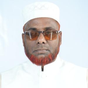 Md Rayhan ShiraziRangpur-1, Jamaat-e-Islami
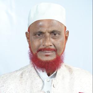 A T M Azharul IslamRangpur-2, Jamaat-e-Islami
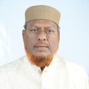 Md Mahbubur Rahman (Belal)Rangpur-3, Jamaat-e-Islami
 Akhter HossenRangpur-4, NCP
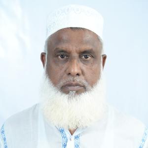 Md Golam RabbaniRangpur-5, Jamaat-e-Islami
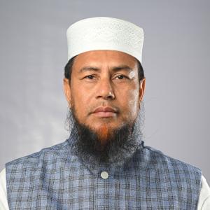 Md Nurul AminRangpur-6, Jamaat-e-Islami
Source: Parliament of Bangladesh | Updated 24 October 2026