Tangail district
8 parliamentary seats · 12 upazilas. The current member for each seat, according to Parliament's database.
About Tangail district
Tangail District is a district in the central region of Bangladesh. The establishment of the Tangail began with 3269 square kilometres of land requisitioned from Mymensingh. Earlier it was a Mahakuma of Mymensingh district. The district consists of 237 square kilometres of the prior mahakuma and with 3,269 square kilometres of land from Mymensingh district. It is the largest district of Dhaka Division by area and second largest by population. The population of Tangail zila is about 4 million and its area is 3,414.28 square kilometres. The main city of the district is Tangail.
History
The history of Tangail follows that of the greater part of East Bengal. Ruled by the Bengal Sultanate, it fell under Mughal domination in the 17th century. It became part of Atia pargana under the Sarkar of Bazhua of the Bengal Subah, before falling to the British East India Company. It was ruled by several zamindars including the Nawabs of Dhanbari. Until 1969, Tangail was a part of Greater Mymensingh. In 1969 the Tangail District was established. Tangail district was created by Tangail Mohokuma from its 237 square kilometres of land and 3,177 square kilometres of land acquired from Mymensingh district.
Geography
The total area of the zila is 3,414.28 km2, of which 497.27 km2 is forested. The zila lies between 24° 01′ and 24° 47′ north latitudes and between 89° 44′ and 90° 18′ east longitudes.
People
According to the 2022 Census of Bangladesh, Tangail District had 1,061,746 households and a population of 4,037,316 with an average 3.75 people per household. Among the population, 696,537 inhabitants were under 10 years of age. The population density was 1,188 people per km2.
Economy
Agriculture is the main occupation of the Tangail district. About 49.53% of people are involved with agricultural activities. Its main agricultural products are paddy, potato, jute, sugarcane, sesame, linseed, wheat, mustard seed and pulse. About 3,386.53 km2 of cultivable lands are available in Tangail. The main fruit products are mangos, jackfruit, bananas, litchis, and pineapples.
Source: Wikipedia, Tangail District · CC BY-SA 4.0
Notable people of Tangail
- Rafiq Azad, poet
- Debapriya Bhattacharya, economist
- Syed Hasan Ali Chowdhury, politician
- Tarak Chandra Das, anthropologist
- Fazlur Rahman Faruque, politician and Ekushey Padak award recipients
- Abdul Halim Ghaznavi, politician
- Admiral
- Maj General Mahmudul Hasan, politician
- Shamsul Huq, politician, first General Secretary of Awami League
- Sayed Moazzem Hossain, 6th Vice · Chancellor of the University of Dhaka
- Ibrahim Khan, litterateur, politician
- Abdur Rahman Khan, Cabinet Minister
Map of the district
Boundaries from the Election Commission's description of the seats, drawn on the maps of OpenStreetMap (upazilas), OCHA (city corporations) and geoBoundaries (city wards; BBS, 2015); approximate. Background map from OpenStreetMap. 8 seats; tap an area to open that seat's page.

Seats and their members
Tangail is a district in Dhaka division with 8 seats in Parliament: Tangail-1 to Tangail-8. In the 13th Parliament, of these seats the BNP holds 7 and an independent 1. In the 12th Parliament (2024), of these seats the Awami League held 5 and independents 3.
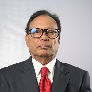 Faqir Mahbub AnamTangail-1, BNP
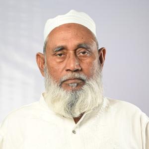 Md. Abdus Salam PintuTangail-2, BNP
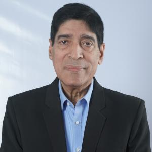 Md. Lutfor Rahman Khan AzadTangail-3, Independent
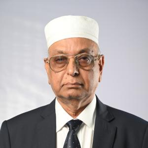 Md. Lutfor RahmanTangail-4, BNP
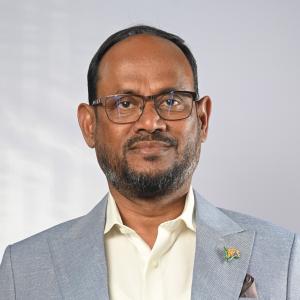 Sultan Salauddin TukuTangail-5, BNP
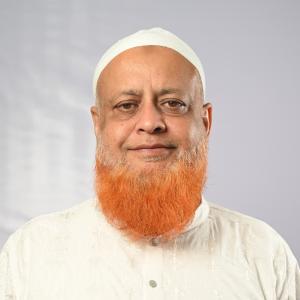 Md. Robiul AwalTangail-6, BNP
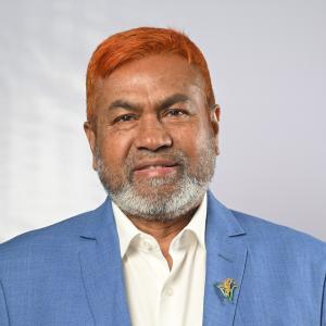 Abul Kalam Azad SiddiqueTangail-7, BNP
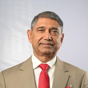 Ahmed Aazam KhanTangail-8, BNP
Source: Parliament of Bangladesh | Updated 24 October 2026